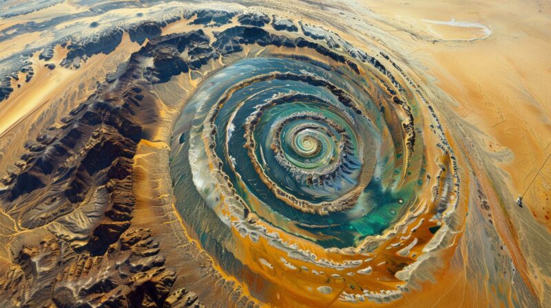
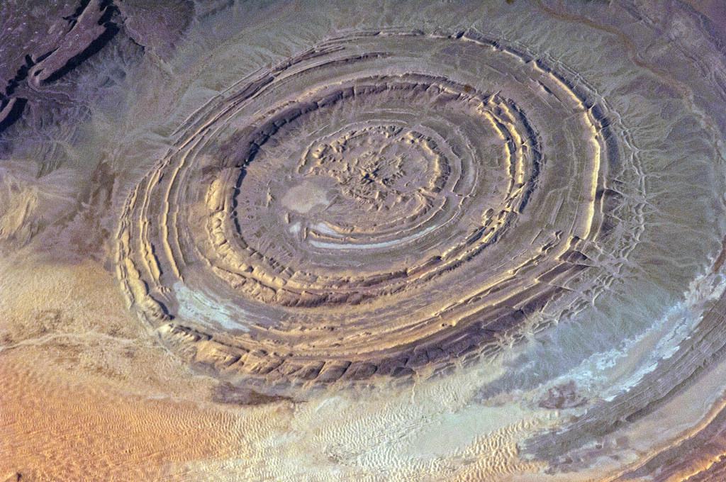
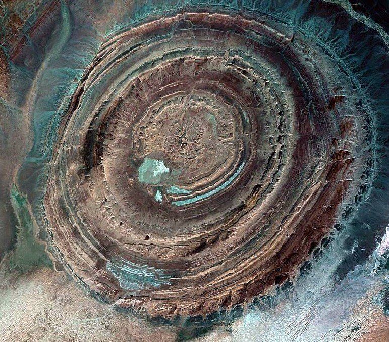
The legend of Atlantis, the fabled lost civilization described by Plato, has fascinated historians, archaeologists, and explorers for centuries. But recent satellite imagery and geological findings may offer a fresh perspective on the myth, potentially grounding it in ancient geography and suggesting that the Egyptians, who shared this story with Plato, had access to astonishingly detailed knowledge of prehistoric lands.
Atlantis in Plato’s Dialogues: Myth or History?
Plato’s account, based on the knowledge imparted by Egyptian priests from the city of Sais, paints Atlantis as a powerful civilization with three distinct geographical components: a “Big Island,” a neighboring continent, and a series of small islands. This layout was said to be located near the “Pillars of Hercules”—widely accepted as the Strait of Gibraltar. Historically, interpretations of Atlantis have ranged from metaphors of lost morality to vivid historical accounts. But what if Atlantis is neither purely myth nor purely history, but a blend of both?

A “Big Island” in Prehistoric Mauritania?
Satellite data has recently revealed signs of an ancient, massive river originating in the Atlas Mountains and flowing into what is now the coast of Mauritania. This prehistoric river, likely active over 7,000 years ago, could have formed an island separated by water channels from the African mainland. Ancient Egyptian knowledge, passed to Plato, may have identified this island as the central land of Atlantis.
The “Big Island” is described as not entirely isolated—connected at points to the mainland—and today’s geological findings align with this depiction. Situated near Mount Atlas, which still bears this name, it could be that the people who lived in this region were indeed Atlanteans, and the land they occupied was Atlantis.
Tracing the Atlantis Chain: From Mauritania to Spain
This theory places the “continental part” of Atlantis across the strait, in the area of Cadiz, Spain. Remarkably, Plato himself mentioned Cadiz as part of the Atlantean domain, reinforcing the notion that the people of Atlantis were well-established around the Mediterranean basin.
Another fascinating aspect of this theory involves the Canary Islands, which before the end of the last Ice Age were larger and more numerous, stretching in a near chain from Mauritania to the Iberian Peninsula. The islands would have created a natural passage for the Atlanteans, allowing them to travel between their “Big Island” and the European mainland.

Unraveling Ancient Knowledge: How Did the Egyptians Know?
While the geographical details alone are compelling, the Egyptian knowledge of Atlantis’ prehistoric landscape is a puzzle in itself. According to the theory, the Egyptian priests knew about this area before the waters rose around 14,000 years ago, reshaping coastlines. The priests of Sais somehow retained this understanding, transmitting it through oral history or sacred records, ultimately passing it to Greek travelers like Solon, who shared it with Plato.
The Egyptians were known for their extensive libraries and sacred records. Could a forgotten civilization, perhaps predating even Egyptian society, have studied and documented these ancient landscapes, preserving the story of Atlantis until the priests of Sais eventually revealed it?

Could This New Understanding Be the Final Clue?
The recent insights into the Atlantis narrative offer an enthralling glimpse into a plausible history that combines geography, archaeology, and myth. Each part of Plato’s account—once thought fantastical—now finds some measure of validation in satellite findings and historical records. This hybrid approach to the Atlantis legend hints at a civilization with knowledge beyond its years, grounded in a location that modern satellite imagery can finally begin to outline.
While questions remain, this new theory may be the closest we’ve come to linking the lore of Atlantis to a real place, a “Big Island” born from geological shifts and known by ancient peoples who carefully preserved its memory.
What lies beneath the sands of Mauritania, and could further exploration unlock the final secrets of Atlantis? The answers may just lie waiting in the history hidden beneath our feet.

